- Distance 6km
- Altitude maximum 1600m
- Altitude minimum n/c
- Marche 02h30
- Dénivelé positif 212m
- Dénivelé négatif 212m
- Commune de départ Valloire
- Nature du terrain Cailloux / Non adapté aux poussettes / Rocher / Terre
Description
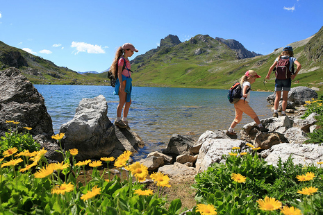
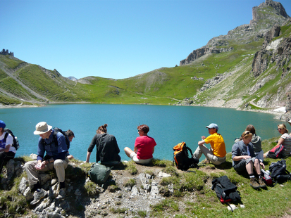
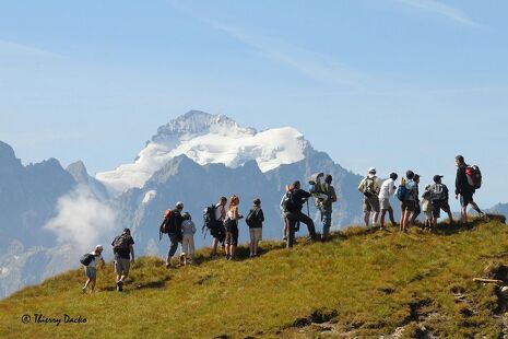
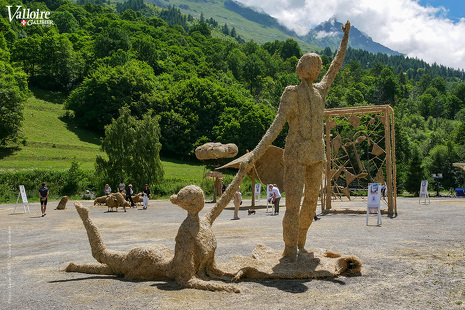
This hike in the woods allows you to discover the hamlets of Valloire and a very beautiful view of the valley. Once in Les Verneys, enjoy the straw and hay sculptures on display throughout the summer !
To activate geolocation, click on the map icon.
TipsWhen hiking, there are a few things you can do to make your experience safer and more enjoyable. Walking poles (even on roads) improve balance in icy conditions, crampons provide grip, and regular hydration is essential.
Carry a water bottle and snacks to keep your energy up. Protect yourself from the sun with sunscreen and sunglasses. Don't forget binoculars to add a touch of observation to your adventure.
Finally, check weather conditions and avalanche risks before you set off. Inform someone of your itinerary, as communication may be limited. These small adjustments will help you make the most of your getaway.
Departure : Tourist office
1/ Walk up rue des Grandes Alpes to the Borgé parking lot.
2/ Take the footbridge on the left at the end of the parking lot to reach the fitness trail.
3/ Walk up the fitness trail, taking advantage of the equipment and structures along the way, as far as the equestrian center, and continue straight ahead (in winter, be careful to cut off the finish of the trail).
4/ Wind your way through the forest until you reach the Verneys chairlift departure station.
5/ Pass the chairlift and continue straight ahead on the path.
6/ At the end of the path and the intersection with the road, turn around and return along the same path.
You can take the shuttle up or down from Les Verneys (at the chairlift) in summer or winter.
Stroll from Valloire to Les Verneys - Hiking itinerary
-
Office de Tourisme
73450 Valloire - 04 79 59 03 96
- Site web
-
Opening
All year round daily.
Subject to snow conditions. - Contact Télécharger le fichier GPX
-
Prices
- Free access.