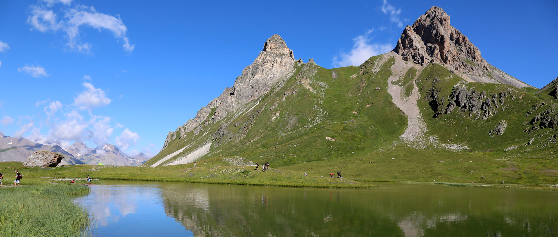
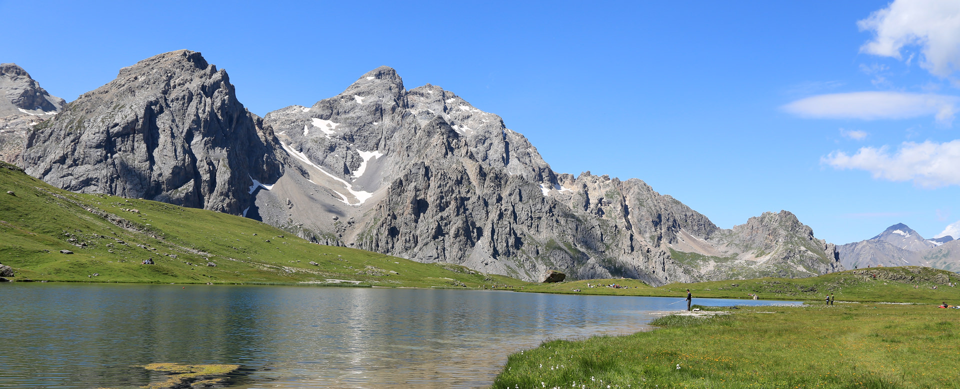
Les Cerces Lake
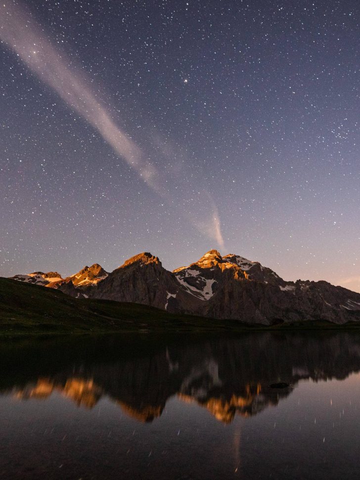
A lake in a gorgeous setting…
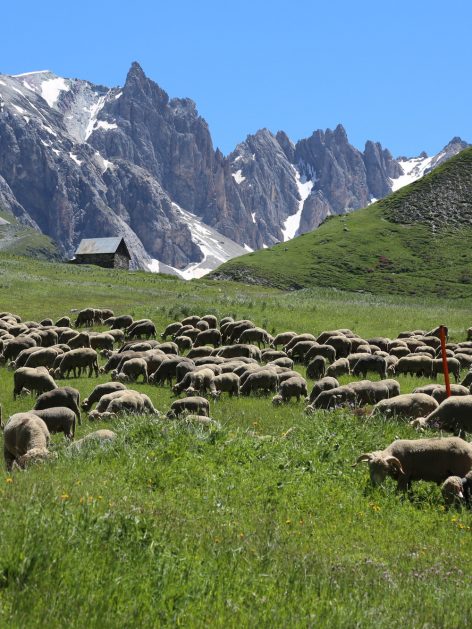
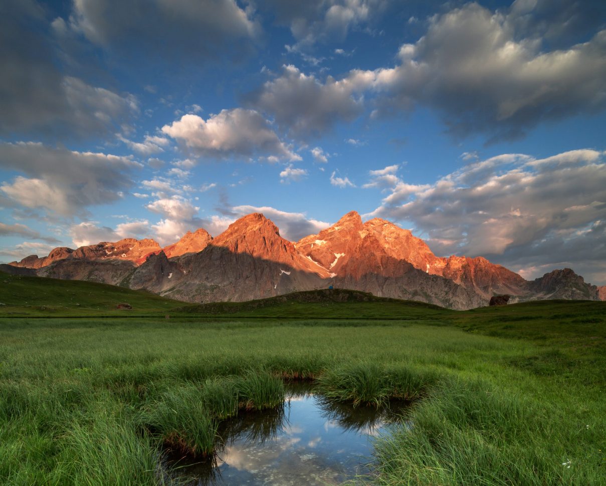
…in the midst of the Les Cerces mountain range, looking out over Le Grand Galibier and Les Aiguilles d’Arves… A perfect family hike for your stay in Valloire!
-
Starting altitude: 1962 m – Finish altitude: 2410 m
Altitude difference: 448 m
Total length: approx. 3 hrs (1 hr 45 mins’ climb) – for the 3 Lakes variation, allow 5 hrs in total.Getting there
From Valloire, follow signs for Le Col du Galibier. Pass the hamlet of Bonnenuit and park in the Plan Lachat car park.
Itinerary
From Plan Lachat, follow the path leading to the hamlet of Les Mottets for 2 km, then take the path to the right leading to Les Cerces Lake.
You can come back the same way or, if you would like to prolong the hike, take the Col des Cerces mountain pass from the lake, which will take you to the Three Lakes. The return route overlooks the Grand Ban Lake (furthest to the left when coming from the Col des Cerces) then crosses the Col des Rochilles pass and takes you through the military camp of the same name. Then, follow the path until you return to Les Mottets and Plan Lachat.