- Distance 18km
- Altitude maximum 2615m
- Altitude minimum n/c
- Marche 08h30
- Dénivelé positif 1210m
- Dénivelé négatif 1210m
- Commune de départ Valloire
- Nature du terrain Non adapté aux poussettes / Rocher / Terre
Description
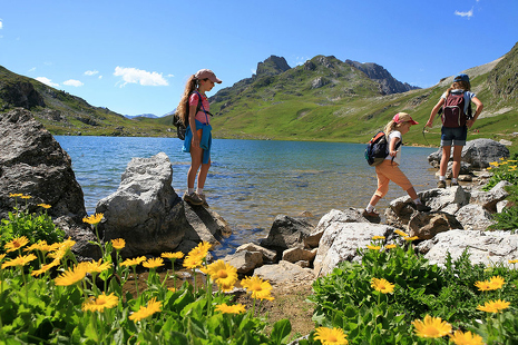
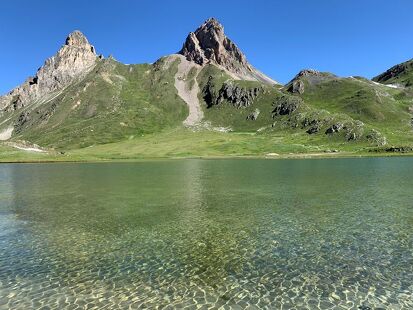
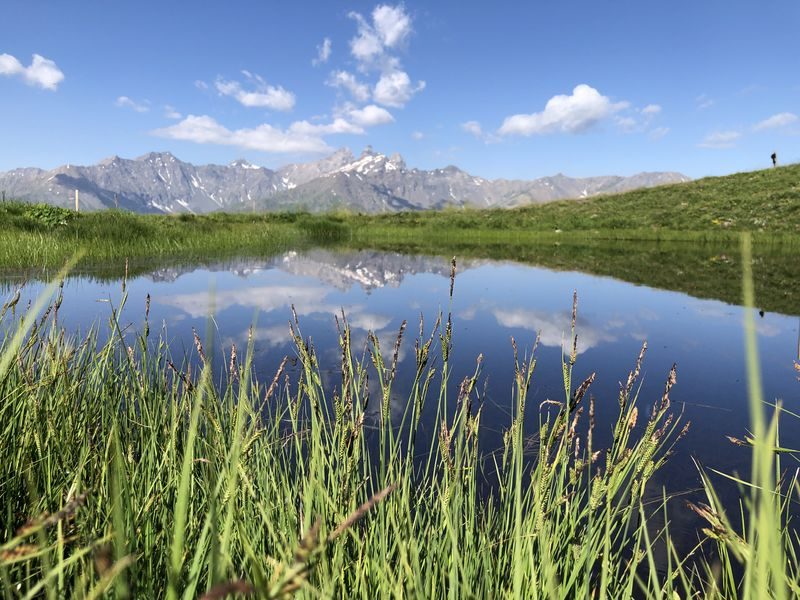
This sporty hike offers you a very beautiful view of Mount Tabor
To activate geolocation, click on the map icon.
TipsPrecautions:
- Find out about the weather conditions before your departure.
- Prefer a departure in the morning so as not to be surprised by the night and let someone know if you are leaving alone.
- The routes you take are your own responsibility.
- It is necessary to choose a route adapted to your physical and technical capacity. If in doubt, do not hesitate to contact mountain professionals.
- Be properly equipped to practice hiking in complete safety and deal with the vagaries of the weather.
- This hike is done in summer when there is no more snow.
- Passing through a scree just before arriving at the refuge.
Departure point: hamlet of Le Pontet. 1 - Climb to the hamlet of Archaz. 2 - Join Geneuil on the minor road or footpath. 3 - In Geneuil, turn left on the path which rises at an angle to Montissot. 4 - Reach the Pas de Cotérieux on the left of the Combe Feutrier. 5 - Follow the Grand Plateau ridge. Succession of small summits offering beautiful views of Mont Thabor. 6 - Descend to the Pas des Griffes. 7 - Return following the remains of a path to the ruins. 8 - Join the Selles track through the meadows. 9 - Follow the path to Archaz.
Le Pas des Griffes par Geneuil
-
Le Pontet
73450 Valloire - 04 79 59 03 96
- Site web
-
Opening
From 15/05 to 31/10.
Subject to favorable snow and weather conditions. - Contact Télécharger le fichier GPX
-
Prices
- Free access.