- Distance 2.8km
- Altitude maximum 2651m
- Altitude minimum n/c
- Marche 01h30
- Dénivelé positif 350m
- Dénivelé négatif 350m
- Commune de départ Valloire
- Nature du terrain Cailloux / Non adapté aux poussettes / Rocher / Terre
Description
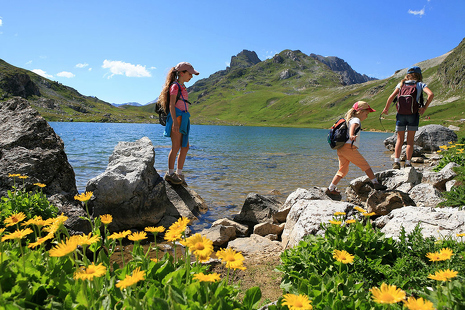
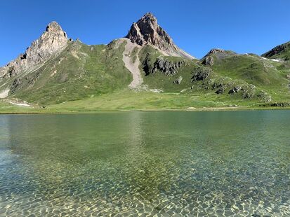
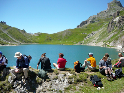
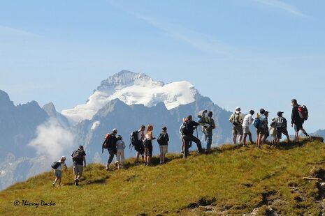
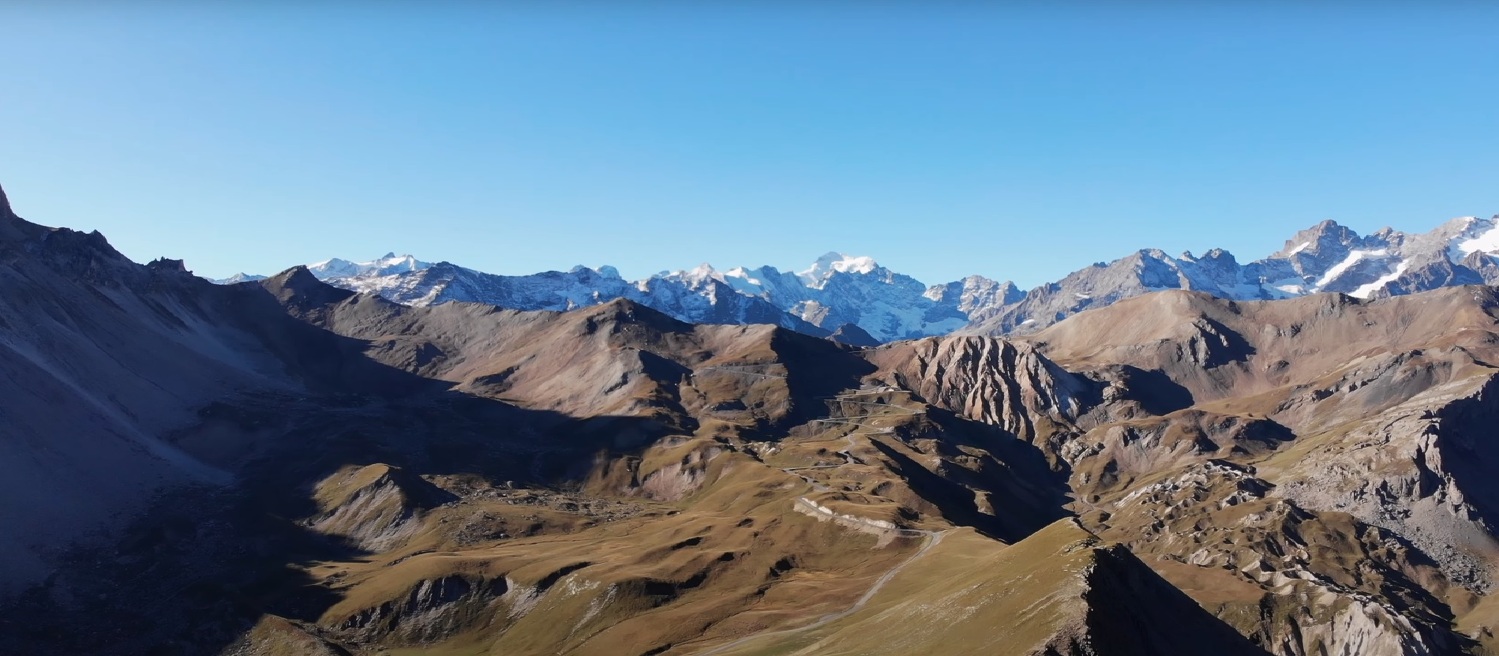
This hike takes you to some excellent lookout points and mountain pastures.
To activate geolocation, click on the map icon.
Tips- Find out about weather conditions before you leave.
- This hike takes place in summer when there is no more snow.
- Inform someone of your itinerary, as communication may be limited.
- It's best to leave in the morning, so as not to be surprised by the dark, and let someone know if you're going alone.
- The routes you take are your own responsibility.
- Choose an itinerary suited to your physical and technical ability. If in doubt, don't hesitate to contact mountain professionals.
- Make sure you're properly equipped to hike safely and cope with the vagaries of the weather. There are a few things you can do to make your experience safer and more enjoyable. Walking poles improve balance in the event of icy crampons, and regular hydration is essential.
Carry a water bottle and snacks to keep your energy up. Protect yourself from the sun with sunscreen and sunglasses. Don't forget binoculars to add a touch of observation to your adventure.
Departure point: les granges du Galibier.
1/ cross the road once to join the path leading up to the summit.
2/ cross the road again to continue your ascent.
3/ at the summit, enjoy the majestic view and turn around.
Roche Olvéra - Hiking trail
-
Colomban Noir
Route du Galibier
73450 Valloire - 04 79 59 03 96
- Site web
-
Opening
From 01/06 to 31/10.
- Contact Télécharger le fichier GPX
-
Prices
- Free access.