Description
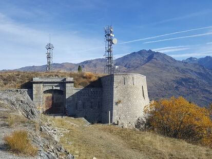
Culminating at an altitude of 1566m, the Col du Télégraphe took its name from the fort which was built there between 1885 and 1893.
It dominates the Maurienne Valley, and in past centuries, it played a major defensive role, overlooking St Michel de Maurienne on one side and the military Galibier road on the other.
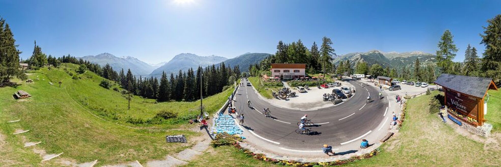
Less well known than its neighbour, the Galibier, the Col du Télégraphe is still a considerable climb, as the cyclists who have completed it will tell you.
Climbing the Col du Télégraphe from Saint Michel de Maurienne:
Departure: 710m - Arrival: 1566,
Length: 11.8km - Elevation 856m
Average %: 7.3% - Maximum %: 9.7%
Services & Equipment
- Picnic area
- Public WC
- Car park
-
Prices
- Free access.