Description
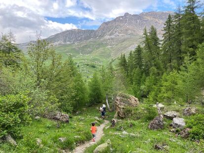
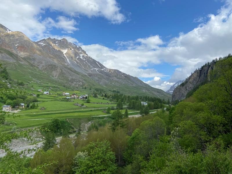
A lovely walk takes you to La Roche Bernard. This natural rocky promontory is a marmot haunt and boasts fine panoramic views.
Guidebook with maps/step-by-stepStart: from the Rivine parking lot (on the banks of the Valloirette).
1/ Take the trail along the left bank of the stream, towards La Roche Bernard.
2/ Pass the Pont de Pratier and continue straight ahead. The path gradually climbs up to the back of Roche.
3/ Pass the cow net and go right up towards "sur les Aiguilles".
4/ At the crossroads, turn left towards Chalets des Aiguilles and head back down to La Barmette.
5/ Turn left to return to Roche Bernard and take the same path back to the parking lot.
Stroll to La Roche Bernard from La Rivine - Hiking itinerary
-
Parking de la Rivine
73450 Valloire - 04 79 59 03 96
- Site web
-
Opening
From 01/05 to 31/12.
Subject to favorable snow and weather conditions. - Contact Télécharger le fichier GPX
-
Prices
- Free access.