Calendar of events in Valloire
Upcoming events in Valloire, don’t miss a thing
Discover Valloire’s agenda, all the events of the year
Explore our calendar of events in Valloire, summer and winter our family ski resort organises a multitude of festivities and activities to enrich your stay.
Are you ready for adventure? Explore our jam-packed calendar of events all year round in Valloire!
Plan your stay : A Weekly Programme Ready for You!
Every week, our team puts together a programme of activities and events to discover in Valloire. Published online every week, the entertainment programme is the ideal tool for preparing your holiday! Check it out before you leave and organise your mountain holiday with ease.
Consult or download the programme on our “Brochures” page.
A lively holiday destination
There’s never a dull moment in Valloire! The resort organises events to put a smile on everyone’s face. In winter and summer, immerse yourself in the atmosphere and enjoy some magical moments, whether you’re on the slopes or looking for some out-of-the-ordinary adventures!
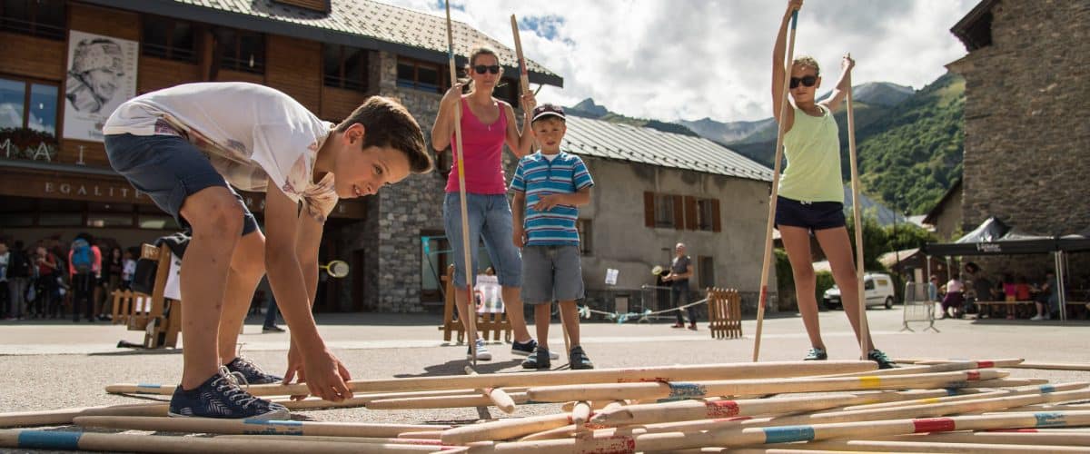
Free activities in Valloire: fun for all
During the season, the Valloire Tourist Office offers a wide range of free activities for children and adults alike. Our weekly programme will help you make the most of your stay, whether you’re a ski enthusiast, a family or a sportsman.
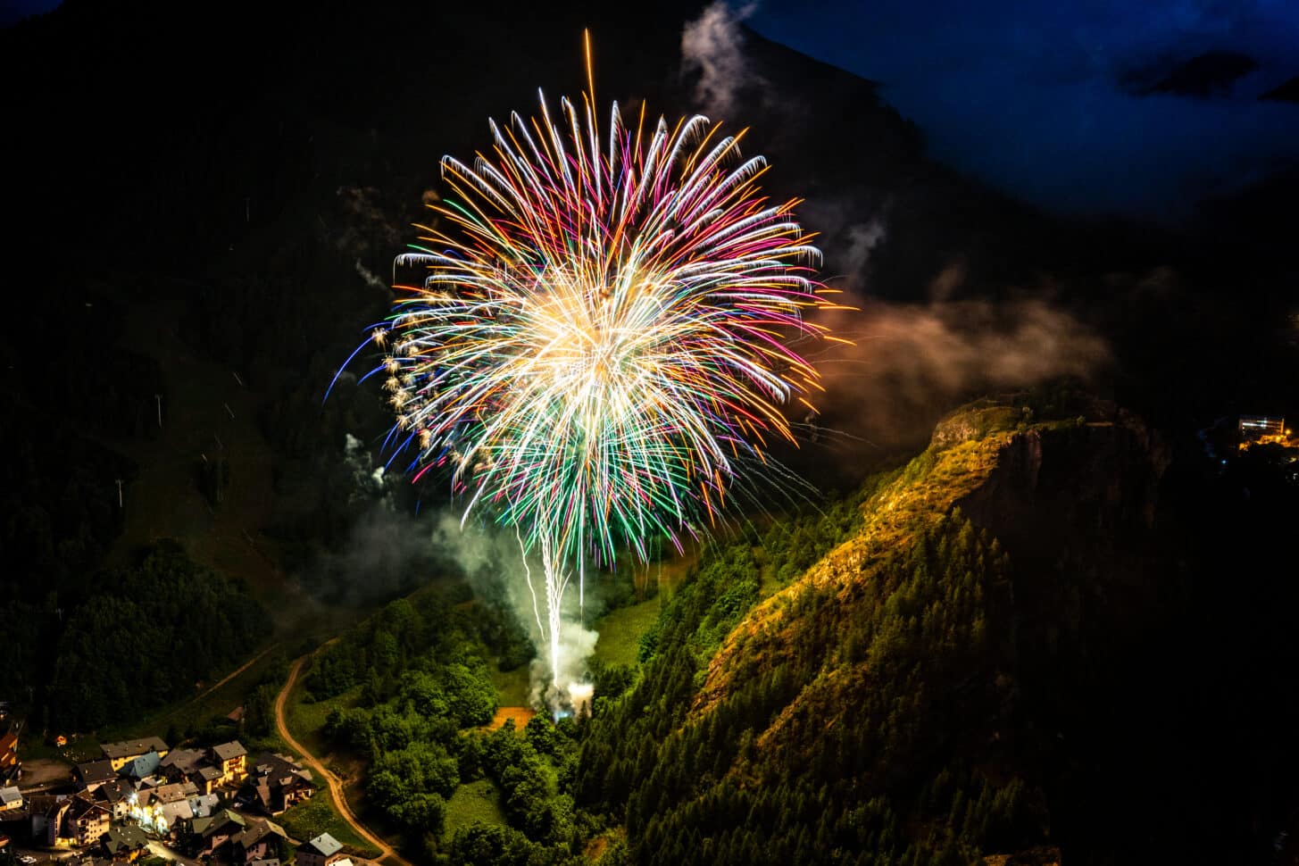
Winter in Valloire means a host of prestigious events:
Pre-openings in the ski area
The Magic Christmas in Valloire
Salon Vin’Altitude
Ice Sculpture Competition
Snow Sculpture Competition
Skiing Retrospectives at Les Verneys and Valloire
The annual Valloire Art Contemporain exhibition
Valentine’s Day “Love is in the air” in Valloire
The Trail Blanc in aid of the SLA association
The Valloire Carnival
Lu Vernin – a festive day in the hamlet of Les Verneys
Jazz Week
La Folie Belge
The JB Cup
La Montagne aux Enfants , promotional week in April
In summer, Valloire puts together a rich and varied programme:
Arrival of the 4th stage of the Tour de France
Straw and Hay International Sculpture Contest
Valloire Autrefois,
Baroque music Festival
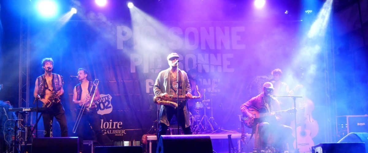
The Pic Sonne
The Galibier Trail
Valloire Mountain Festival
Art and Matter
La Fête Patronale
All Terrain Fair and Festi Alp
The LePape Marmotte Grandfondo cyclosportive event
Sois là aussi, the 24-hour sporting challenge
Lu’ Oktoberfest: the beer festival
Clini Clown
and much more.