- Distance 3.3km
- Altitude maximum 1596m
- Altitude minimum n/c
- Marche 01h30
- Dénivelé positif 40m
- Dénivelé négatif 40m
- Commune de départ Valloire
- Nature du terrain Itinéraire non damé / Non adapté aux poussettes / Terre
Description
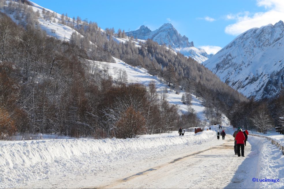
To be enjoyed in fine weather, this easy walk starts at the hamlet of Les Verneys. It follows the Valloirette river. It offers a lovely view of the mountains, with the Galibier in the background.
With no change in altitude, it's ideal for families with children.
It can be combined with the Vita-Vittel trail. You can also take the free shuttle bus to Les Verneys.
TipsWhen hiking, there are a few things you can do to make your experience safer and more enjoyable. Walking poles (even on roads) improve balance in icy conditions, crampons provide grip, and regular hydration is essential.
Carry a water bottle and snacks to keep your energy up. Protect yourself from the sun with sunscreen and sunglasses. Don't forget binoculars to add a touch of observation to your adventure.
Finally, check weather conditions and avalanche risks before you set off. Inform someone of your itinerary, as communication may be limited. These small adjustments will help you make the most of your getaway.
Stroll from Les Verneys to Pratier - Hiking itinerary
-
Office de tourisme de Valloire
73450 Valloire - 04 79 59 03 96
- Site web
-
Opening
All year round.
Subject to favorable weather. - Contact
-
Prices
- Free access.