- Distance 2.5km
- Altitude maximum 1697m
- Altitude minimum n/c
- Marche 01h30
- Dénivelé positif 130m
- Dénivelé négatif 130m
- Commune de départ Valloire
- Nature du terrain Cailloux / Non adapté aux poussettes / Sable / Terre
Description
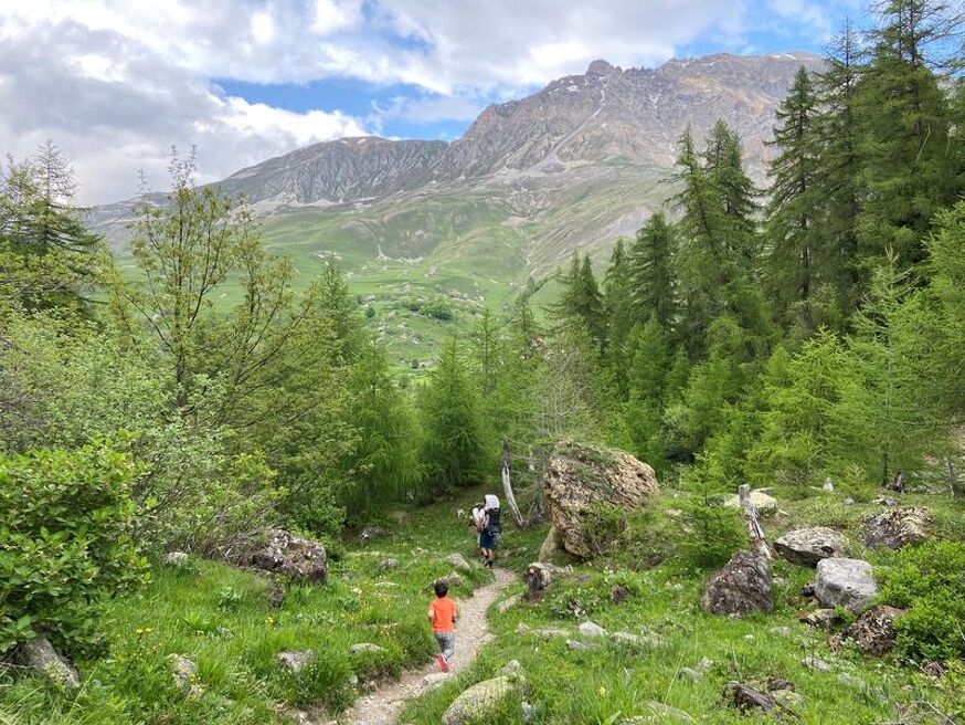
This easy, bucolic trail takes you to La Roche Bernard. This grey rock, crowned by a cross, is a marmot hideout as well as an archaeological site where traces of human activity dating from before Jesus Christ have been discovered.
To activate geolocation, click on the map icon.
Guidebook with maps/step-by-stepStart: from the parking lot below the Bonnenuit Altiport.
1/ follow the path towards the stream.
2/ cross the stream and then the wooden footbridge.
3/ At the intersection, turn right towards La Roche Bernard.
4/ At La Roche Bernard, you can turn around.
When hiking, there are a few things you can do to make your experience safer and more enjoyable. Walking poles (even on roads) improve balance in icy conditions, crampons provide grip, and regular hydration is essential.
Carry a water bottle and snacks to keep your energy up. Protect yourself from the sun with sunscreen and sunglasses. Don't forget binoculars to add a touch of observation to your adventure.
Finally, check weather conditions and avalanche risks before you set off. Inform someone of your itinerary, as communication may be limited. These small adjustments will help you make the most of your getaway.
Stroll to Roche Bernard from Bonnenuit - Hiking itinerary
-
Parking de l'Altiport de Bonnenuit route des grandes Alpes
73450 Valloire - 04 79 59 03 96
- Site web
-
Opening
From 19/05 to 15/10.
Subject to favorable snow and weather conditions.
Télécharger le fichier GPX
-
Prices
- Free access.