Description
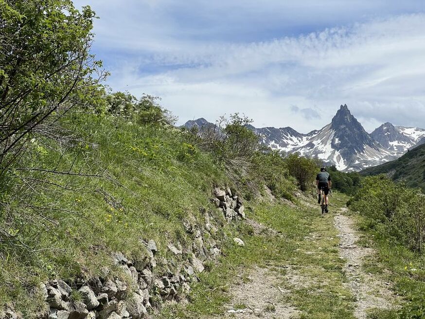
This intermediate-level route, mainly in the Alpine pastures, offers superb views of the surrounding mountains. At Diseurs, take a break to admire the Aiguille Noire.
Estimated duration: 2h to 3h
To activate geolocation, click on the map icon.
Guidebook with maps/step-by-stepDeparture - From the tourist office, head up rue des Grandes Alpes towards the hamlet of Les Verneys 1 - Once you've crossed the bridge, walk along the parking lot to take the footbridge on the left of the main road to follow the "Vitta Vittel" fitness trail 2 - Once you're in front of the equestrian center, follow the wide dirt path to the right of the building. After a short climb, you'll see the Chapelle Saint Pierre. 3- Continue uphill until you pass the sheepfold, then continue on the 4x4 track until you reach the junction with the Selles track. 4 - Go slightly up the Selles track to take the single on your left through the alpine chalets. 5 - At the pate d'oie, fork left (avoid the Geneuil chapel) to descend towards l'Archaz. Watch out for pedestrians towards l'Archaz. 6 - You'll arrive in the center of Valloire via le Pontet.
3 - La Combe de l'Aiguille Noire - Mountain bike / ATV itinerary
-
Office de tourisme de Valloire
73450 Valloire - 04 79 59 03 96
- Site web
-
Opening
From 24/04 to 23/10 daily.
Subject to favorable weather. - Contact
-
Prices
- Free access.