- Distance 21.6km
- Altitude maximum 2525m
- Altitude minimum n/c
- Marche 07h30
- Dénivelé positif 1160m
- Dénivelé négatif 1160m
- Commune de départ Valloire
- Nature du terrain Non adapté aux poussettes / Rocher / Terre
Description
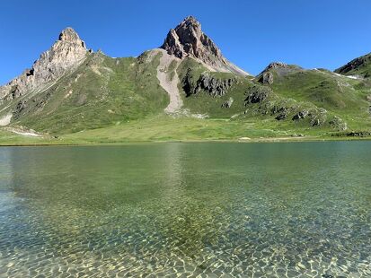
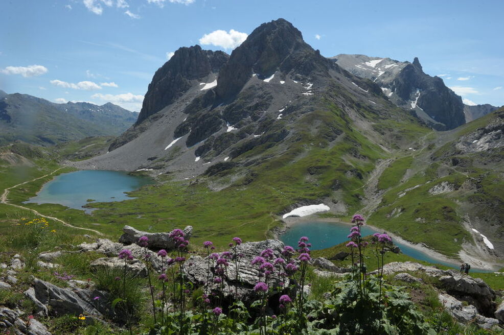
The interest of this hike is the observation of wild fauna such as marmots and chamois. You can also see herds of cattle throughout the walk.
To activate geolocation, click on the map icon.
TipsWhen hiking, there are a few things you can do to make your experience safer and more enjoyable. Walking poles (even on roads) improve balance in icy conditions, crampons provide grip, and regular hydration is essential.
Carry a water bottle and snacks to keep your energy up. Protect yourself from the sun with sunscreen and sunglasses. Don't forget binoculars to add a touch of observation to your adventure.
Finally, check weather conditions and avalanche risks before you set off. Inform someone of your itinerary, as communication may be limited. These small adjustments will help you make the most of your getaway.
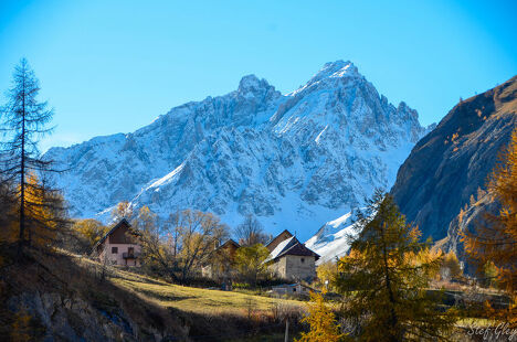
Departure point: hamlet of Le Pontet. 1 - Reach the hamlet of Archaz (or drive to Archaz). 2 - The route climbs up the Neuvachette valley, passing through Les Selles and old alpine chalets. 3 - Reach the Col de la Plagnette. On the plateau, discover an ancient 18th-century fort. 4 - Return along the same path or via Col des Rochilles and Les Mottets.
Col de la Plagnette - Hiking trail
-
Pontet
73450 Valloire - 04 79 59 03 96
- Site web
-
Opening
All year round.
Subject to favorable snow and weather conditions. - Contact Télécharger le fichier GPX
-
Prices
- Free access.