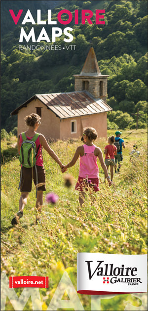
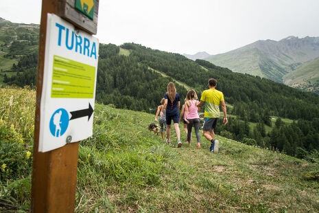
Hiking
GET AWAY FROM IT ALL….
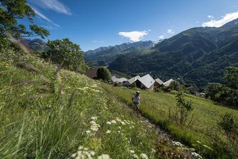
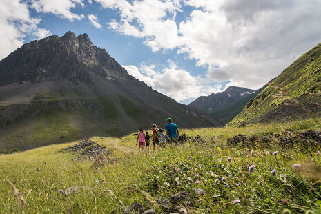
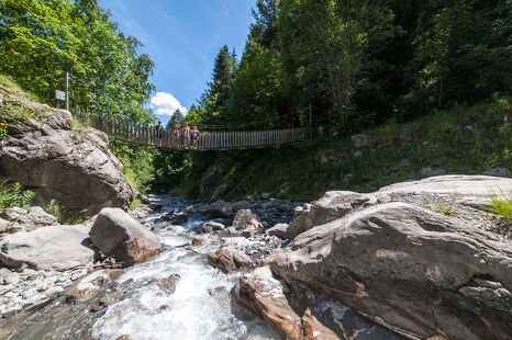
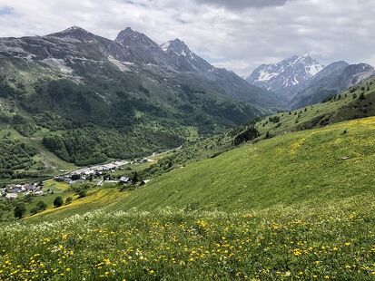
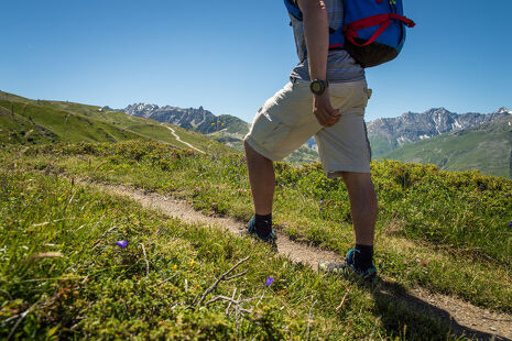
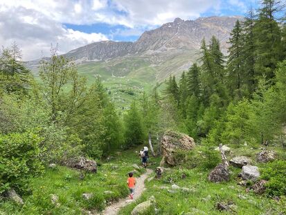
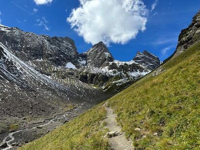
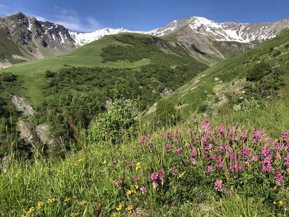
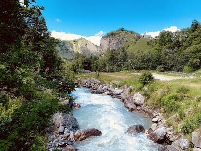
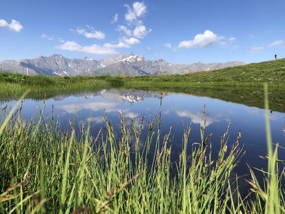
In summer, VALLOIRE is a hiking area spanning 14,000 hectares, sculpted by generations of farmers and shepherds and criss-crossed with trails connecting the pastures or leading to the highest surrounding peaks, from the Col du Télégraphe (1556 m) to the Col du Galibier (2642 m).
In winter, our hiking trails will let you discover the hamlets making up VALLOIRE, take you to the top of the La Brive cable car so you can take the path for La Séa and admire the views, and we even have dedicated snowshoe trails.
In winter and in summer, our professional mountain guides and monitors will tell you the story of Valloire, and will show you the flora, fauna and little secrets of the Vallée d’Or.
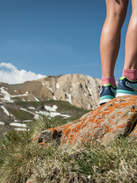
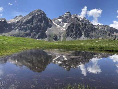
Valloire offers exceptional, authentic mountain scenery. The beauty of nature is everywhere you look on our kilometres of hiking trails.
In this majestic and imposing setting, you can take a detour and get to know some of the local inhabitants, who will be delighted to tell you a few stories or anecdotes about their village.
The Valloire app offers hikes, mountain bike, trails and running circuits, with the aid of a virtual guide that allows you to geolocalise yourself at any time.


-
F.F.C: map of hiking trails and mountain biking routes
This map, drawn to 1:33,333 scale, will mean you can discover the Vallée d’Or and the beautiful areas surrounding it on foot or by bike: Le Galibier, Les Aiguilles d’Arves, Mont Thabor, Le Seuil des Rochilles… The hiking routes were drawn up in collaboration with Maurienne mountain guides.
The map is on sale at the Tourist Office: €6La Séa trail:
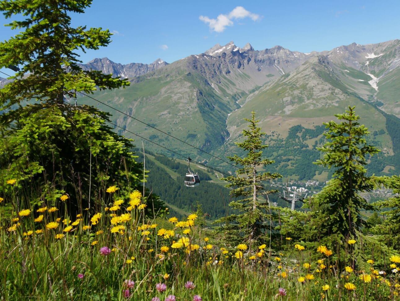
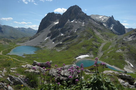
An easy way to discover the joys of the mountains! Take the cable car at Le Crêt de la Brive (2100 m) and the ski lift at La Vieille Lake to reach the pastures and get an exceptional view over the Alps.
Stop off for lunch on the terrace of the Alp de Zélie restaurant or have a picnic in the mountains. Follow the themed trail of La Séa, discover the La Vieille Lake, and walk or take a cable car back to the village. Enjoy the fresh air! In the mood for adrenaline? Take a flight in a twin-seater paraglider, or go down the mountain with an instructor by mountain board or bike.
-
Download the map of pedestrian trails accessible from the ski lifts.
Services:
– picnic areas
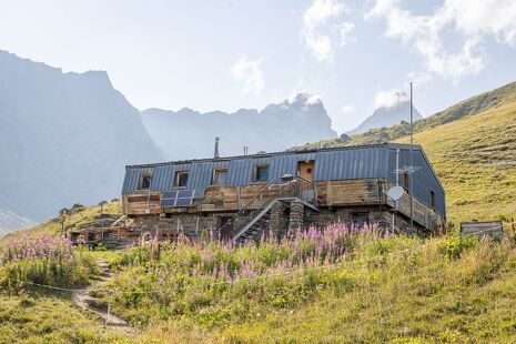
– “L’Alp de Zélie” high-altitude restaurant
– “Les Mérégers” high-altitude restaurant
– l’Edelweiss restaurant (Pré-Rond)
– Geneuil Pasture -
The forest nature trail at Poingt Ravier:
educational marked path of 3 kms balisés through the forest, with the collaboration of the ONF.
Information on request from the Tourist Office.The Fitness Circuit at La Valloirette: 2 km – 5 exercise stations.
Around Mont Thabor
“Tous les Tours du Thabor” guide on sale from the Tourist OfficeTo make sure you enjoy your time in the mountains, check the advice on the Prévention Eté website from the French Sports Ministry.